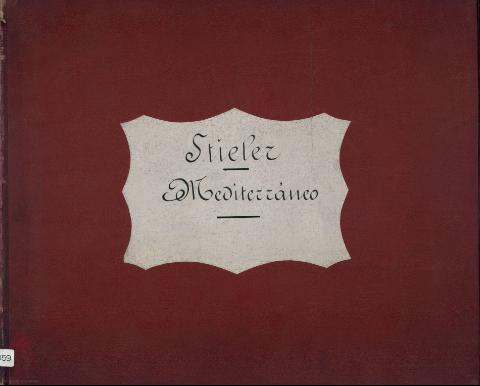
Karte des Miltelländischen Maeres : in 8 blättern
Section: Maps
Title: Karte des Miltelländischen Maeres [Material cartográfico] : in 8 blättern / entworfen von A. Petermann
Área de datos: Escala 1:3500000 (O 12°--E 56°00'/N 46°--N 25°)
Publication: Gotha : Justus Perthes, 1880
Physical description: 1 atlas (8 h.) : col. 1 map. ; 40 x 49 cm
Notes: Consta de ocho hojas que conforman un único mapa del Mediterráneo con las costas de los países que baña y Eurasia
Red geográfica de 1° en 1°
Orografía por normales
Destacan las líneas de derrota
Clave cromática para delimitar las fronteras entre los distintos paises representados
Tabla de signos convencionales para indicar los núcleos de población y densidad, líneas telegráficas, ríos, arroyos, canales, consulados, etc. ; y clave alfabética para indicar los accidentes geográficos más notables
Copia digital. Madrid : Ministerio de Cultura. Dirección General del Libro, Archivos y Bibliotecas, 2010
Materia / lugar / evento: Asia - S. XIX - Atlas
Europa - S. XIX - Atlas
África - S. XIX - Atlas
Otros autores: Perthes, Justus, 1749-1816
Títulos secundarios: MEDITERRANEO (Mar). Mapas generales. 1880. 1:1350000
UDC: 912:656.61:527.6:(1-2/-5)(262)(4-13)(6-17)(5-15)"1880"(084.4)
262
4-13
6-17
5-15
Type of publication:
![]() Maps
Maps
Derechos: CC BY. Esta licencia permite utilizar las obras siempre que se mencione la fuente de procedencia
© Ministry of Culture


