
Hastenbek (26 Juillet 1757)


Section: Maps
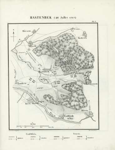
Title: Hastenbek (26 Juillet 1757) / gravé par L. Bouffard ; lith. de Bineteau
Author: Bineteau, P., fl. 1839
Área de datos: Escala 1:50.000
Publication: [París] : J. Dumaine, [1839]
Physical description: 1 mapa ; 31 x 24 cm
Registros relacionados: En: Batailles et principaux combats de la Guerre de Sept Ans. - [París] : J. Dumaine, editeur, 30, rue et passage Dauphine, [1839]. - PL. V
Otros autores: Bouffard, L., fl. 1839-1859
Títulos secundarios: Europa. Central. Operaciones bélicas. 1839. 1:50000 (1757)
UDC: 912:355.4]:355.43(4-191.2)'1757'
4
Type of publication:
 Maps
Maps
Derechos:
Map Library of the General Military Archive of Madrid
Colección: SH — Signature: AT-5/5