
The Polar Regions


Sección: Mapas
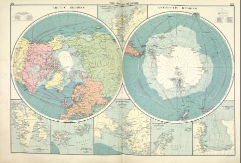
Título: The Polar Regions [Material cartográfico]
Autor: Philip, George
Área de datos: 1:35.000.000
Publicación: [London] ; [Liverpool] : George Philip & Son, Ltd : The London Geographical Institute : Philip, Son & Nephew, [1922]
Descripción física: 1 mapa ; 49 x 72 cm
Notas: Copia digital. Madrid : Ministerio de Cultura. Dirección General del Libro, Archivos y Bibliotecas, 2010
Incluye: Northern Greenland and Ellesmere Island ; West Spitsbergen ; Spitsbergen and Franz Josef Land ; The Bering Strait and Lower Yukon ; South Shetlands and Graham Land ; Victoria Land
Registros relacionados: En: Philip's Mercantile Marine Atlas. - [London] : Edited by George Philip [et al.], 1922. - Mapa 28
Registros incluidos: Philip's Mercantile Marine Atlas . - [London] : Edited by George Philip [et al.], 1922
Materia / lugar / evento: Rutas marítimas - Mapas
Regiones polares - Mapas
Género / forma: Atlas mundiales
Nombre jerárquico lugar: Regiones polares
Otros autores: George Philip & Son Ltd.
Merchant, Shippers, Exported and Ocean Travelles
The London Geographical Institute
Títulos secundarios: Regiones polares. Mapas generales. ca. 1922
CDU: (98/99)
Tipo de publicación:
 Mapas
Mapas
Derechos: