
Ports of Spain, Portugal and Western France


Section: Maps
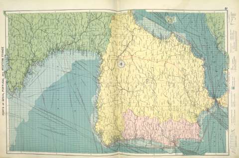
Title: Ports of Spain, Portugal and Western France [Material cartográfico]
Author: Philip, George
Área de datos: 1:3.000.000
Publication: [London] ; [Liverpool] : George Philip & Son, Ltd : The London Geographical Institute : Philip, Son & Nephew, [1922]
Physical description: 1 mapa ; 73 x 49 cm
Notes: Copia digital. Madrid : Ministerio de Cultura. Dirección General del Libro, Archivos y Bibliotecas, 2010
Registros relacionados: En: Philip's Mercantile Marine Atlas. - [London] : Edited by George Philip [et al.], 1922. - Mapa 14
Registros incluidos: Philip's Mercantile Marine Atlas . - [London] : Edited by George Philip [et al.], 1922
Materia / lugar / evento: Rutas marítimas - Mapas
Puertos - Portugal - Mapas
Puertos - Francia - Mapas
Francia occidental
Género / forma: Cartas náuticas
Otros autores: George Philip & Son Ltd.
Merchant, Shippers, Exported and Ocean Travelles
The London Geographical Institute
Títulos secundarios: Portugal. Mapas generales. ca. 1922
Francia occidental. Mapas generales. ca. 1922
España. Mapas generales. ca. 1922
UDC: (460)
(469)
(44-15)
Type of publication:
 Maps
Maps
Derechos: