
Nördliche Stern - Himmel Der : (mitte des 19 Jahrbunderts)


Section: Maps
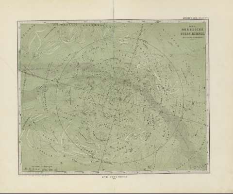
Title: Nördliche Stern - Himmel Der : (mitte des 19 Jahrbunderts) / ent w.v. Stieler
Author: Perthes, Justus, 1749-1816
Edición: Neue Aufl./berichtigt v. Pr. C. Bruhns
Área de datos: Escala indeterminada
Publication: Gotha [Alemania, R.D.] : Justus Perthes, 1879
Physical description: 1 mapa : col. ; 30x36 cm, en h. de 39x48 cm, pleg. en 39x24 cm
Notes: Leyenda de signos utilizados
Registros relacionados: En: Hand atlas : über alle Theile der Erde und über das Weltgebäude. - Gotha [Alemania R.D.] : Justus Perthes, [1879]. - N 2
Materia / lugar / evento: Mapas celestes
Universo
Otros autores: Stieler, Adolf, 1775-1836
Bruhns, V.
Títulos secundarios: UNIVERSO. Mapas celestes (1879)
UDC: 912:523/524(125)'1879'
125
Type of publication:
 Maps
Maps
Derechos: