
Empire d'Alexandre : [carte]


Section: Maps
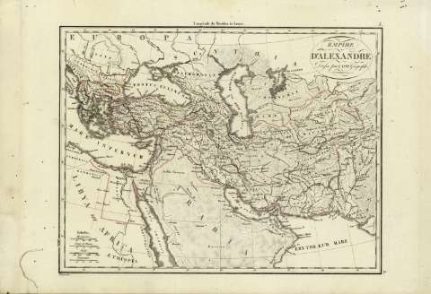
Title: Empire d'Alexandre : [carte] / dressé par Lapie Geógraphe ; Chamouin
Author: Lapié, Pierre, 1779-1850
Área de datos: Escala [1:18181818]
Publication: [A París] : [chez Anselin, successeur de Magimel, libraire pour l'Art Militaire, rue Dauphine, n 9], [1828]
Physical description: 1 mapa : col. ; 22x29 cm en h. de 27x40 cm
Notes: Escala gráfica además en : Lienes de France, stades ... Coordenadas : E10 12'-E75 36'/N45 36'-N15 12'. Meridiano de París
Relieve : líneas perpendiculares normales
Deteriorado
Registros relacionados: En: . - N 3
Materia / lugar / evento: Geografía histórica
Civilizaciones antiguas
Imperios
Oriente medio
Grecia
Egipto
Títulos secundarios: ORIENTE MEDIO. Geografía histórica. 1828. 1:18181818 (356-323 ad. C)
UDC: 912:913.1]:913(5-011+495+620)'-356/-323'
5-011
495
620
Type of publication:
 Maps
Maps
Derechos: