
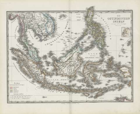
Die Ostindischen Inseln : [generalkarte]


Section: Maps
Title: Die Ostindischen Inseln : [generalkarte] / gezeichnet von F.V. Stulpnagel
Author: Stieler, Adolf, 1775-1836
Área de datos: 1:11500000 (E 94 -E 134 /N 18 -S 08)
Publication: Gotha [Alemania, R.D.] : Justus Perthes, 1879
Physical description: 1 mapa : col. ; 30 x 41 cm en h. de 39 x 48 cm, pleg. en 39 x 24 cm
Notes: Constan ademas coordenadas según el meridiano Hierro
Relieve representdo por normales
Leyenda de signos utilizados
Inserta: Niederlande im Maasstad der Hauptkarle
Registros relacionados: En: Hand atlas : über alle Theile der Erde und über das Weltgebäude. - Gotha [Alemania R.D.] : Justus Perthes, [1879]. - N. 67
Materia / lugar / evento: Mapas generales
Asia
Otros autores: Stulpnagel, F. von, 1786-1865
Perthes, Justus, 1749-1816
Títulos secundarios: ASIA. SE. 1:11500000
UDC: (5-12)
Type of publication:
 Maps
Maps
Derechos: