
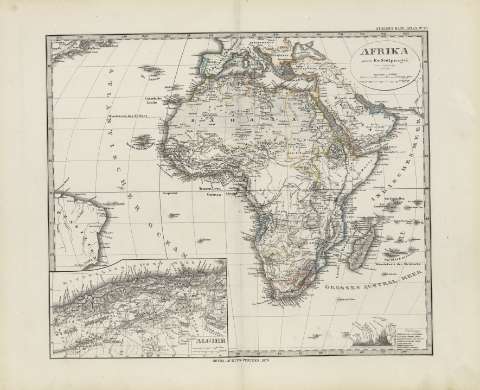
Afrika


Section: Maps
Title: Afrika / gez. von F.v. Stulpgel
Área de datos: 1:37000000
Publication: Gotha : Justus Perthes, 1879
Physical description: 1 mapa : col. ; 31 x 36 cm, en h. de 39 x 48 cm, pleg. en 39 x 24 cm
Notes: Coordenadas referidas al meridiano de París (O 300 -E 130/N 44 -S 50)
Relieve representado por normales
Leyenda de signos utilizados
Inserta: Algier
Registros relacionados: En: Hand atlas : über alle Theile der Erde und über das Weltgebäude. - Gotha [Alemania R.D.] : Justus Perthes, [1879]. - N. 68
Otros autores: Stulpnagel, F. von, 1786-1865
Stieler, Adolf, 1775-1836
Perthes, Justus, 1749-1816
Títulos secundarios: AFRICA. Mapas generales. 1:37000000 (1879)
UDC: 912:341.222(6)'1879'
6
Type of publication:
 Maps
Maps
Derechos: