
Kunersdorf (12 Aout 1759)


Section: Maps
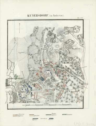
Title: Kunersdorf (12 Aout 1759)
Author: Bineteau, P., fl. 1839
Área de datos: Escala 1:50.000
Publication: [París] : J. Dumaine, [1839]
Physical description: 1 mapa : col. a mano ; 31 x 24 cm
Notes: Coloreadas las posiciones y movimientos de los combatientes.
Registros relacionados: En: Batailles et principaux combats de la Guerre de Sept Ans. - [París] : J. Dumaine, editeur, 30, rue et passage Dauphine, [1839]. - PL. XV
Materia / lugar / evento: Guerras
Guerra
Estrategia
Kunersdorf
Europa
Hierarchical place name: Alemania - Kunersdorf
Europa
Títulos secundarios: Europa. Central. 1:50000
UDC: 912:355.4]:355.43(4-191.2)'1759'
4-191.2
Type of publication:
 Maps
Maps
Derechos:
Map Library of the General Military Archive of Madrid
Colección: SH — Signature: AT-5/15