
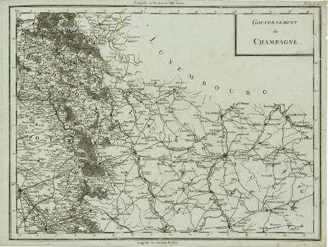
Gouvernement de Champagne


Section: Maps
Title: Gouvernement de Champagne
Author: Tardieu, Pierre François
Área de datos: Escala [ca. 1:472.813], 1 [= 23,5 cm] (O 0º36'--E 4º35' /N 50º00'--N 48º40')
Publication: París : chez Mr Meutelle Historiographe de Monseigneur le Comte d'Antois, [ca. 1797]
Physical description: 1 mapa en 2 h. : col. ; 34 x 49 cm
Notes: Indica meridianos de origen: Isla del Hierro y París ; Márgenes graduados.
Registros relacionados: En: Atlas nouveau. - Paris : Chez Mr. Mentelle Historiographe de Monseigneur le Comte d'Antois, Rue de Seine Fauxbourg S. Germain, Hotel de Mayence, [1797 ?]. - H. 27
Títulos secundarios: CHAMPAÑA (Francia). Mapas generales. 1:472813 (1797)
UDC: 912:625.7(44-2/-5)'1797'
44 Champaña
Type of publication:
 Maps
Maps
Derechos: