
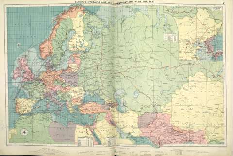
Europe's overland and sea communications with the east


Sección: Mapas
Título: Europe's overland and sea communications with the east [Material cartográfico]
Autor: Philip, George
Área de datos: 1:20.000.000
Publicación: [London] ; [Liverpool] : George Philip & Son, Ltd : The London Geographical Institute : Philip, Son & Nephew, [1922]
Descripción física: 1 mapa ; 49 x 73 cm
Notas: Copia digital. Madrid : Ministerio de Cultura. Dirección General del Libro, Archivos y Bibliotecas, 2010
Inserta mapa de: Continuation Eastward
Registros relacionados: En: Philip's Mercantile Marine Atlas. - [London] : Edited by George Philip [et al.], 1922. - Mapa 11
Registros incluidos: Philip's Mercantile Marine Atlas . - [London] : Edited by George Philip [et al.], 1922
Materia / lugar / evento: Rutas marítimas - Mapas
Transportes ferroviarios - Mapas
Asia
Europa
Género / forma: Atlas mundiales
Otros autores: George Philip & Son Ltd.
Merchant, Shippers, Exported and Ocean Travelles
The London Geographical Institute
Títulos secundarios: Hemisferio oriental. Mapas generales. ca. 1922
CDU: (215-11)
Tipo de publicación:
 Mapas
Mapas
Derechos: